How To Add Stalled Vehicle On Google Maps: Step-By-Step Guide
In the world of navigation, Google Maps has taken the spot of the go-to application, period. While using it, you must have come across notifications of an accident or a stalled vehicle (vehicle breakdown). And, it certainly helps in planning the route forward. But you must’ve wondered how the Google Maps application gets to know about it? The answer is, users can add these details on the application for a route they are using to travel. How? Here’s a simple guide to add a stalled vehicle/breakdown on Google Maps.
Step-by-Step Guide to Report a Stalled Vehicle:
Open Google Maps App
Make sure you have the Google Maps app installed on your phone and that you’re signed in.
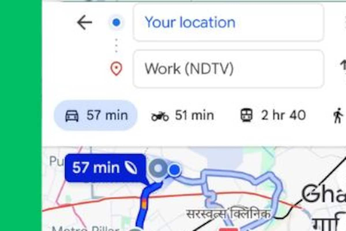
Start Navigation
Enter your destination and tap on “Start” to begin navigation, just like you would for any trip.
Access the Report Menu
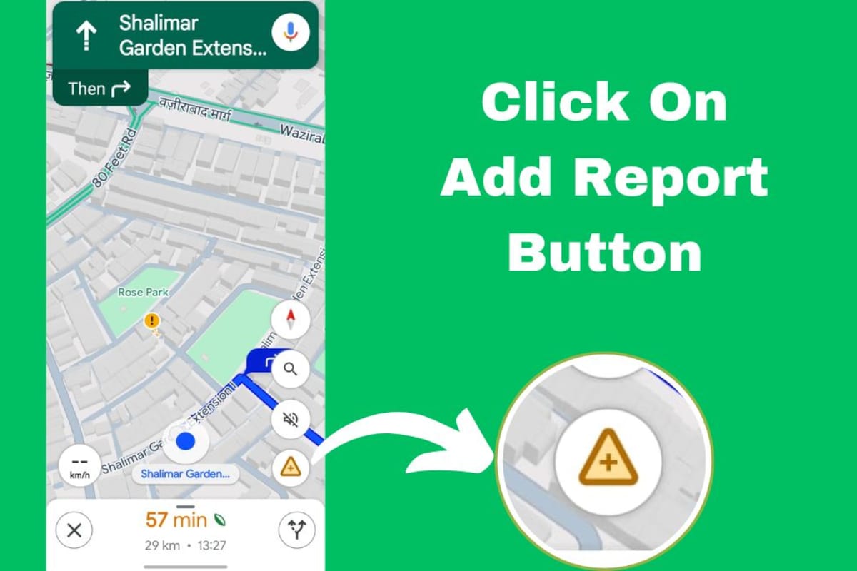
While navigating, you’ll see a small speech bubble with a “+” icon at the bottom-right of your screen. Tap on it.
Select “Stalled Vehicle”
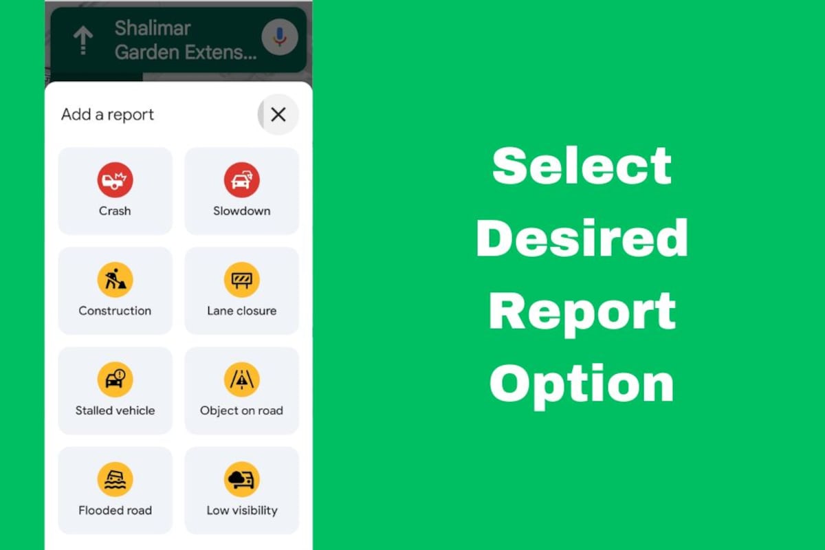
A menu will appear with different report options like crash, slowdown, and construction. Tap on “Stalled Vehicle”.
Auto Location Tag
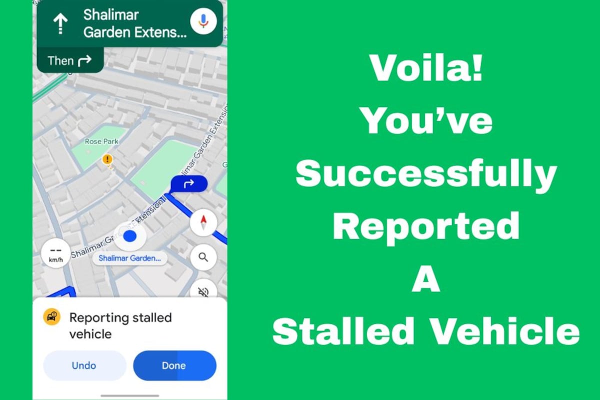
Google Maps automatically uses your GPS location to tag the spot where the stalled vehicle is. No need to type anything in!
Submit
That’s it! Your report will be sent to Google and used to inform other drivers in real time.
Why Reporting Matters
By reporting a stalled vehicle, you help others stay alert and safe. It also helps Google Maps provide more accurate traffic updates and alternate route suggestions.


